
Google Maps releases ‘early access’ AR Navigation
Google Maps unveiled a demo of their new AR feature earlier this month and has now started testing augmented reality navigation on android and ios devices. The most active and trustworthy Google Map users, known as Local Guides, are the first to have the opportunity to test out the new feature.
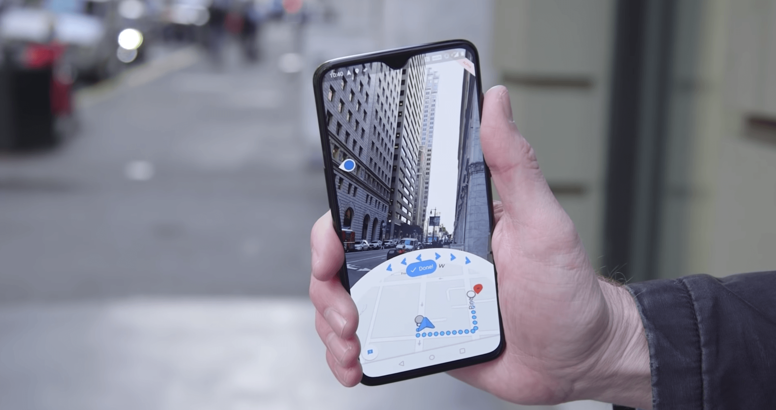
Google Maps AR overlays digital content like directional arrows and business listings over a live camera feed. The inaccuracy of GPS in built-up urban environments is a common complaint from Google Map users. This new development uses the camera as an extra sensor to more accurately identify the user’s location. The newly coined ‘Visual Positioning Service’ (VPS) uses Google’s extensive back-end data to analyze your surroundings to identify where you are with greater accuracy.

Google Maps AR is still in its testing phase and Google has stressed that they will not be rolling out the feature until they are satisfied with its functionality. This is the latest example of immersive technology slowly integrating its way into the publics’ everyday lives. While still only available on mobile devices; overlaying directional instructions and location-based information in the user’s field of view and in real time looks like it will become the norm as wearable AR technology begins to become more streamlined and practical.